Category Archives: Hiking

Escalante River Trail

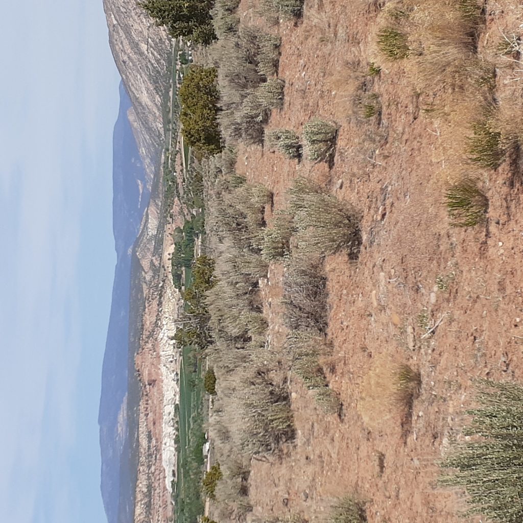
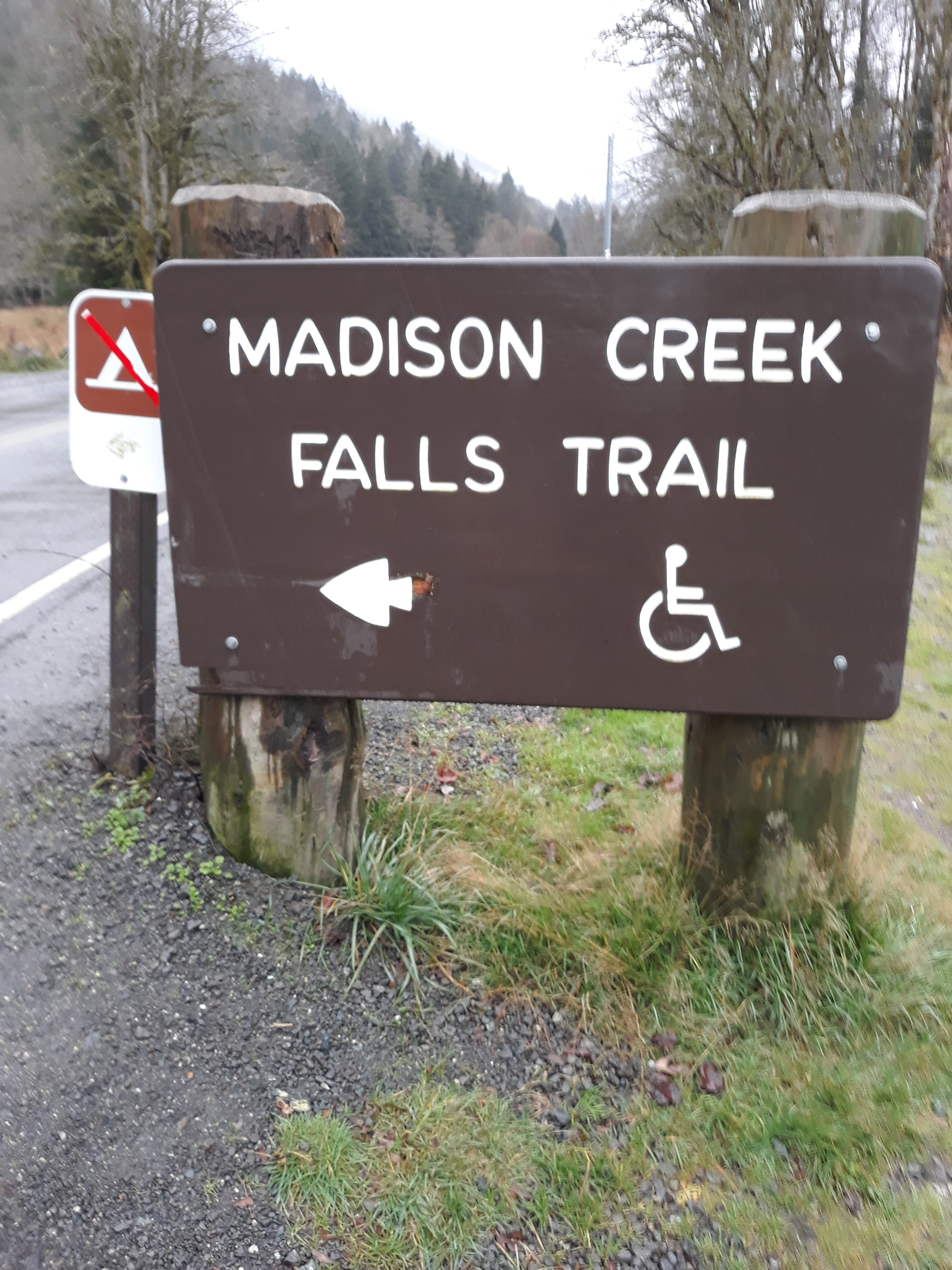
This hike was very convenient when I had mechanical problems with the truck. The trailhead is only 1.5 miles from the RV so I just added a few miles of road walking to the actual hike.

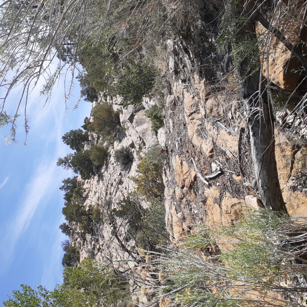
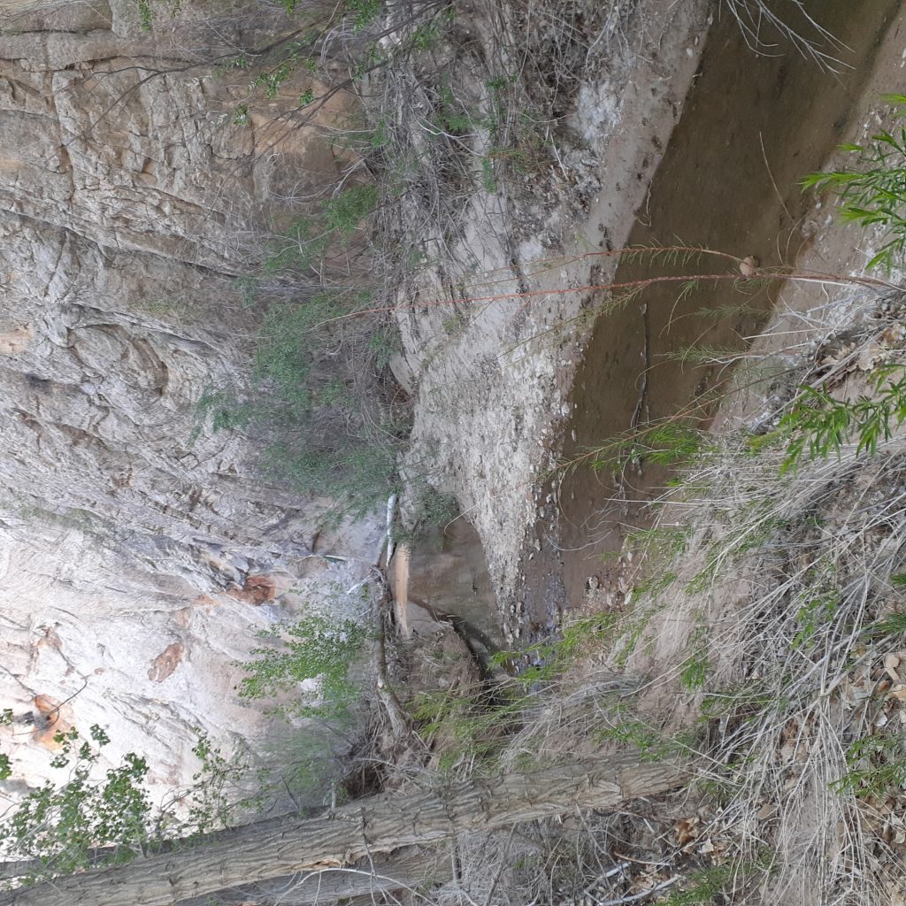
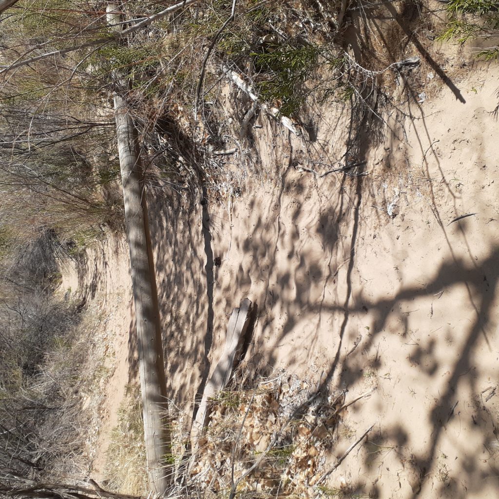
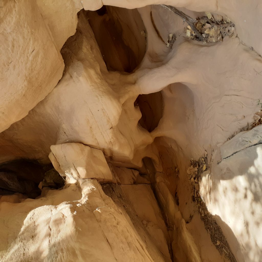
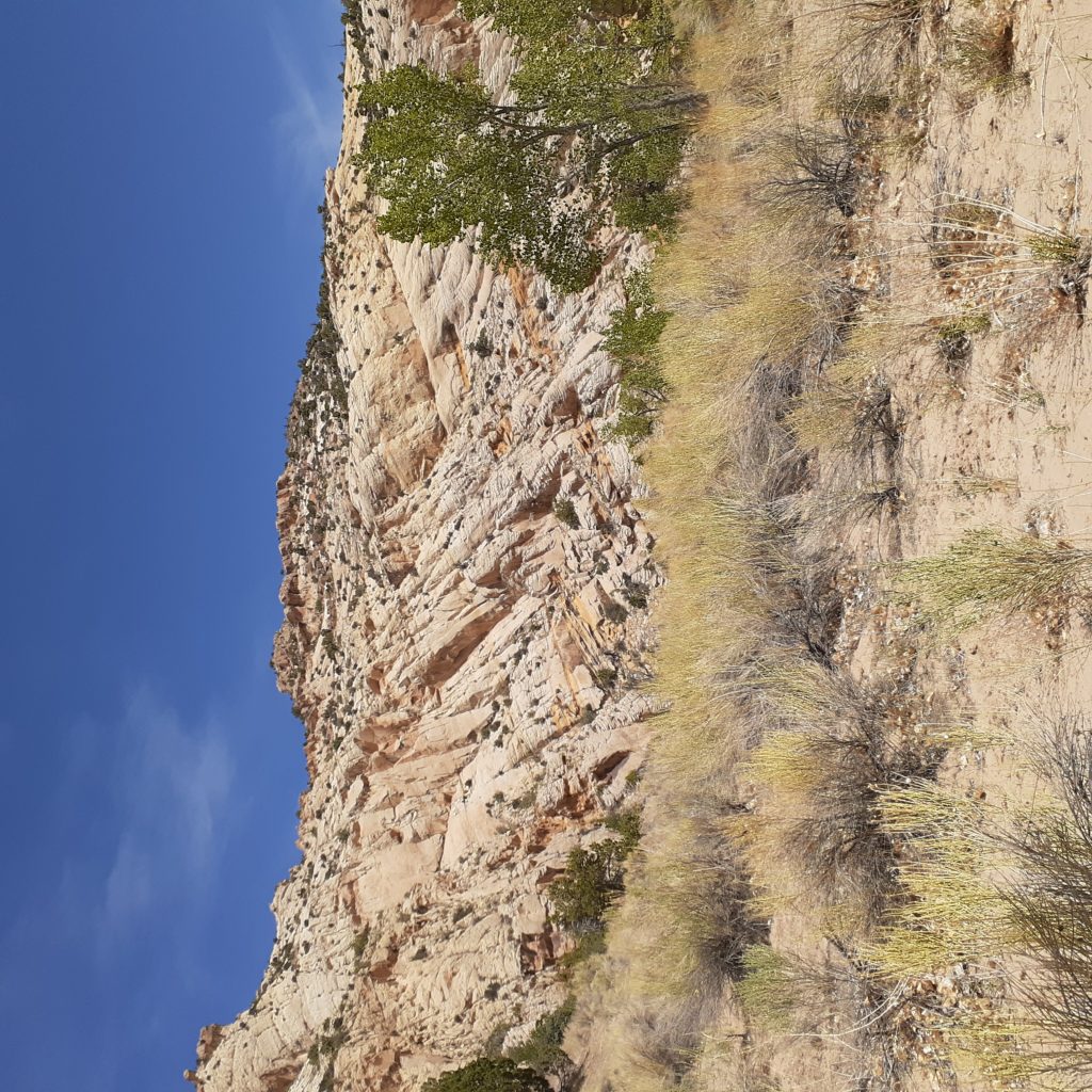
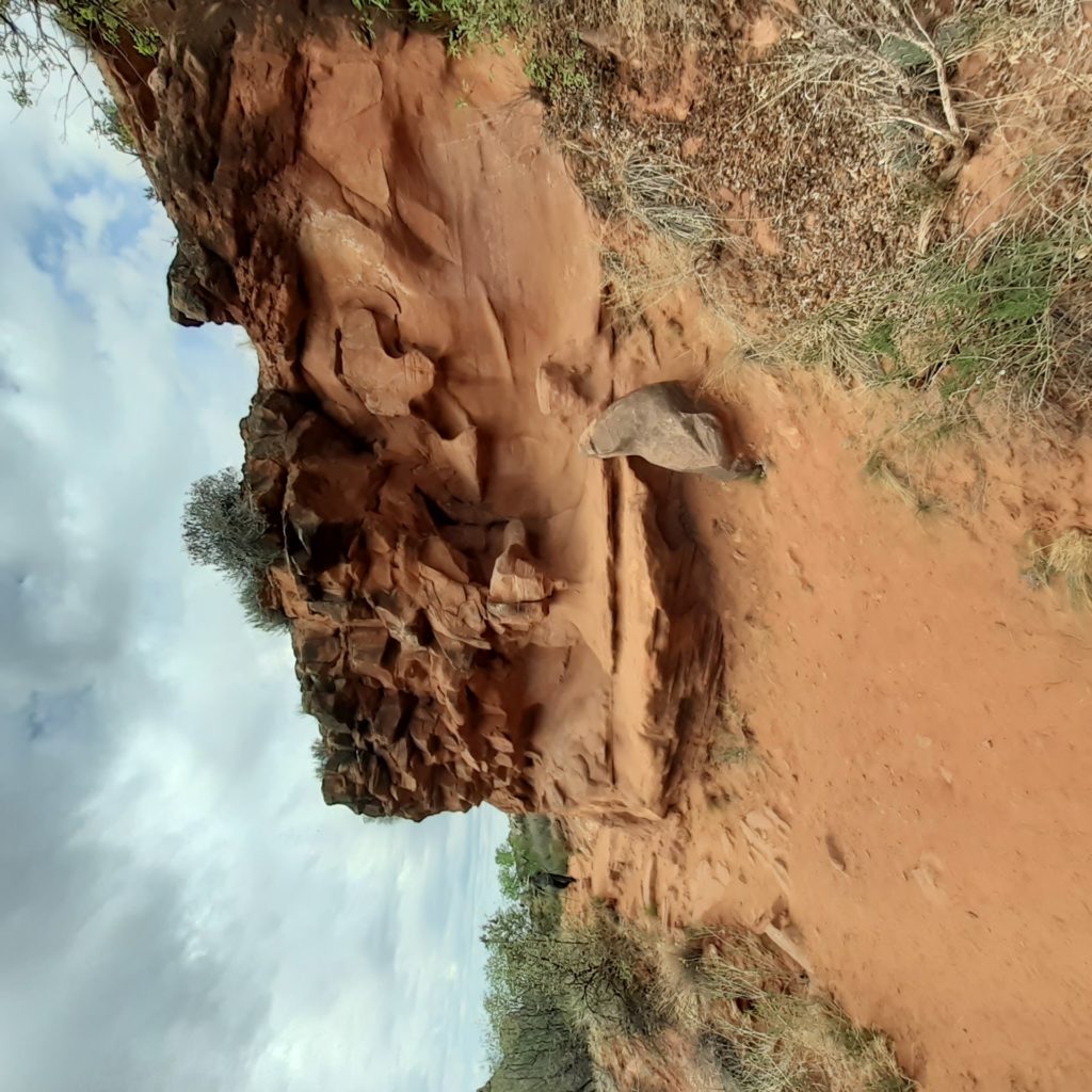
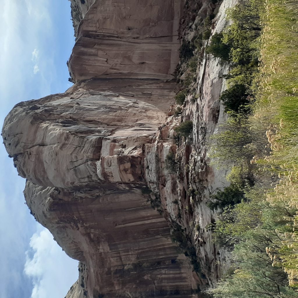
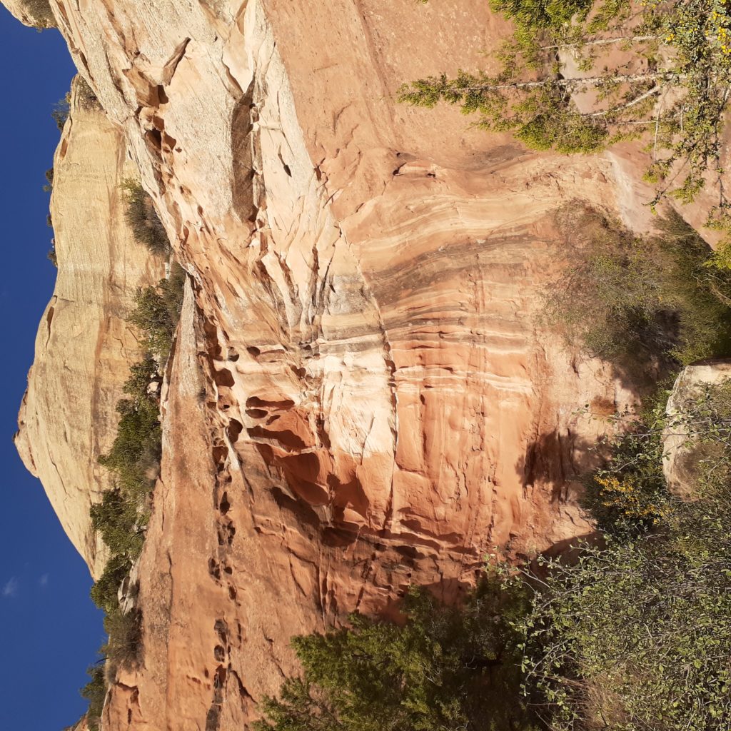
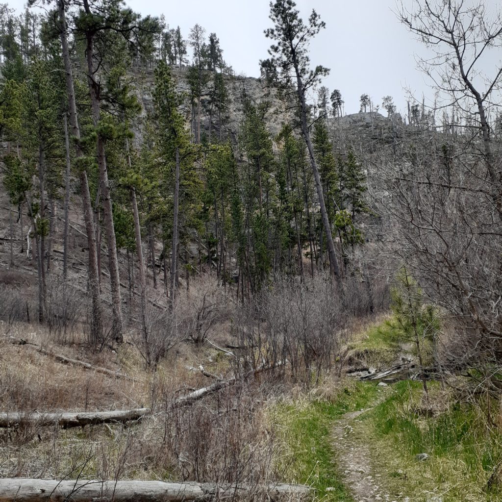
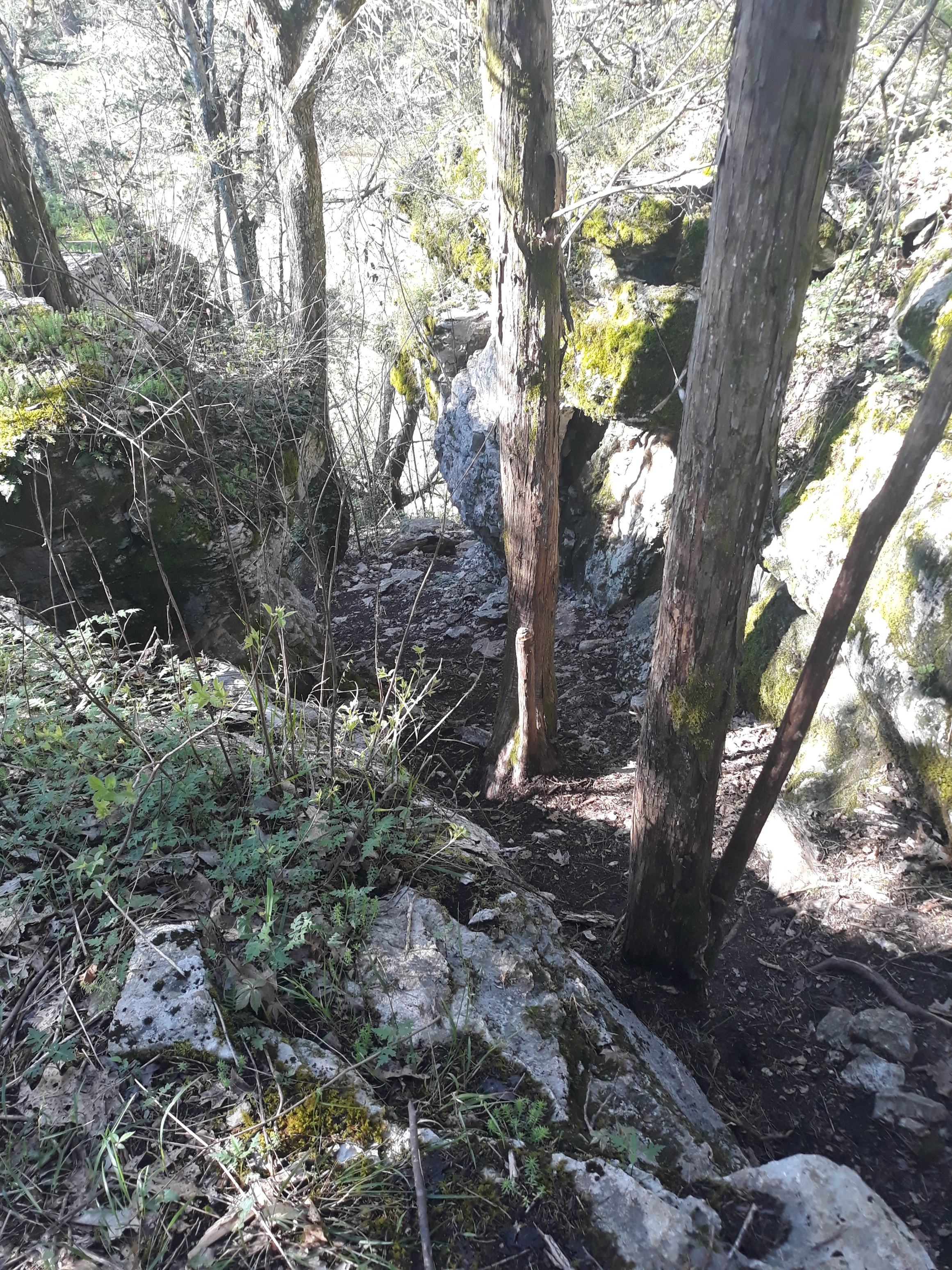
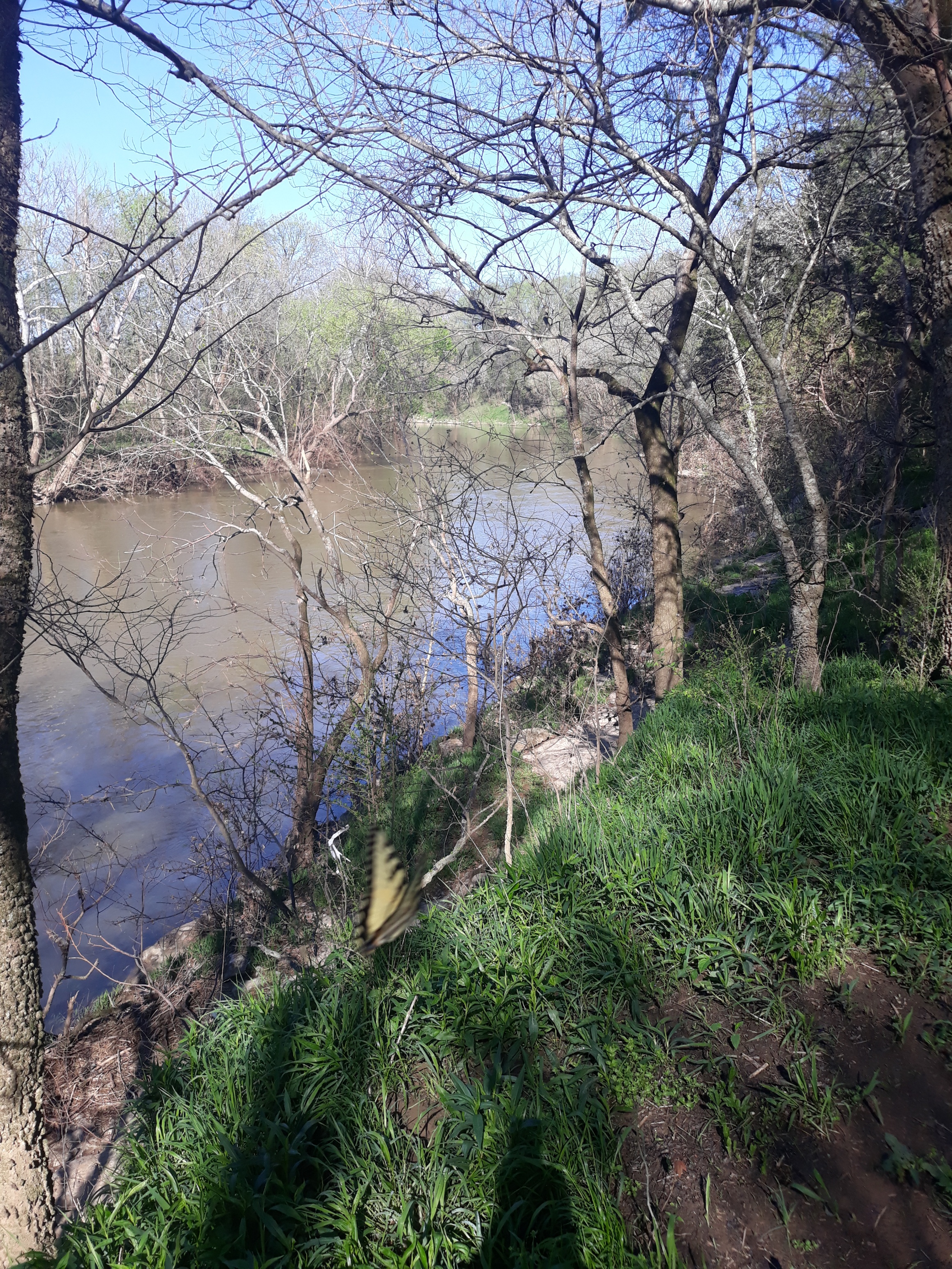
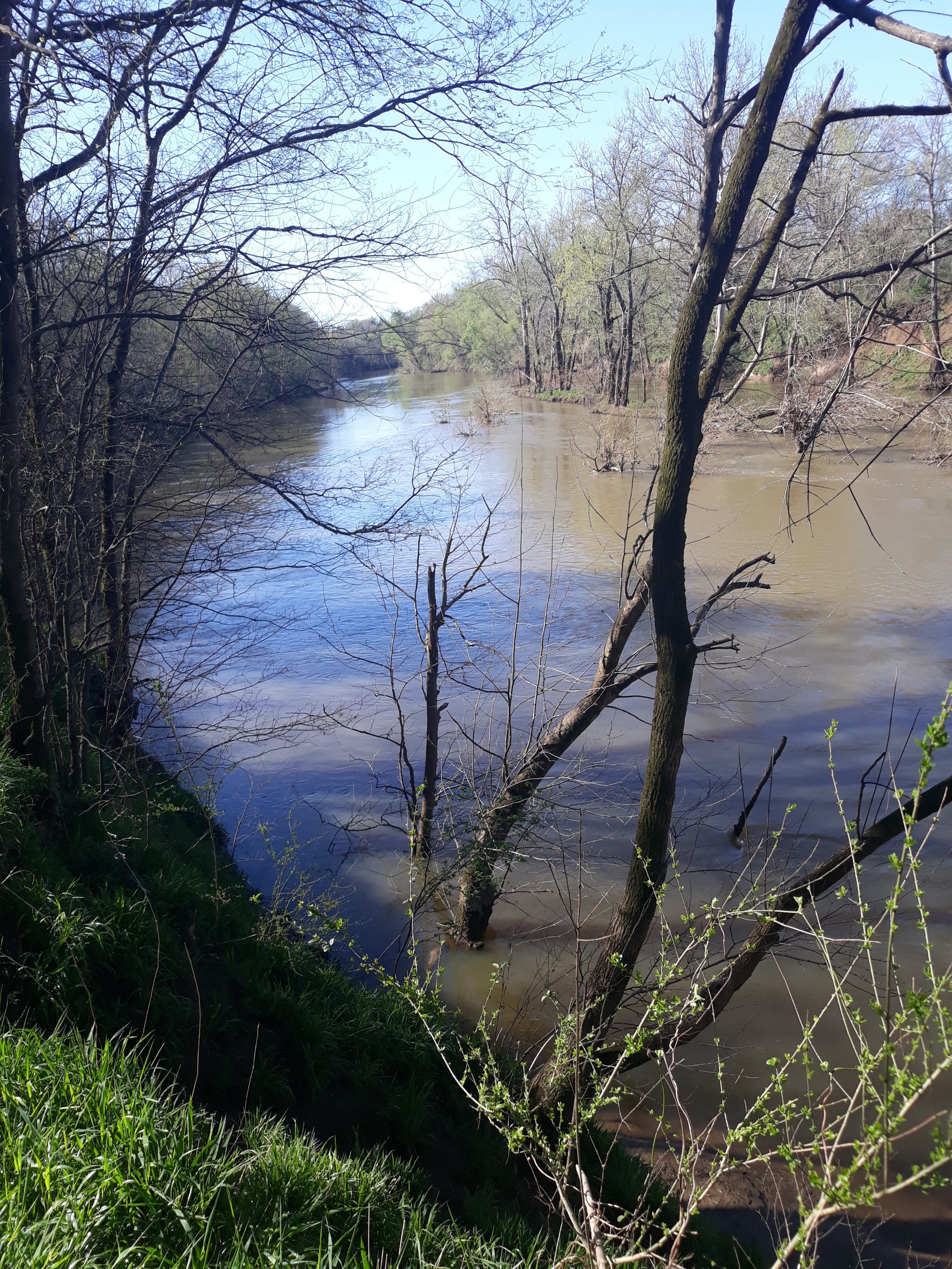
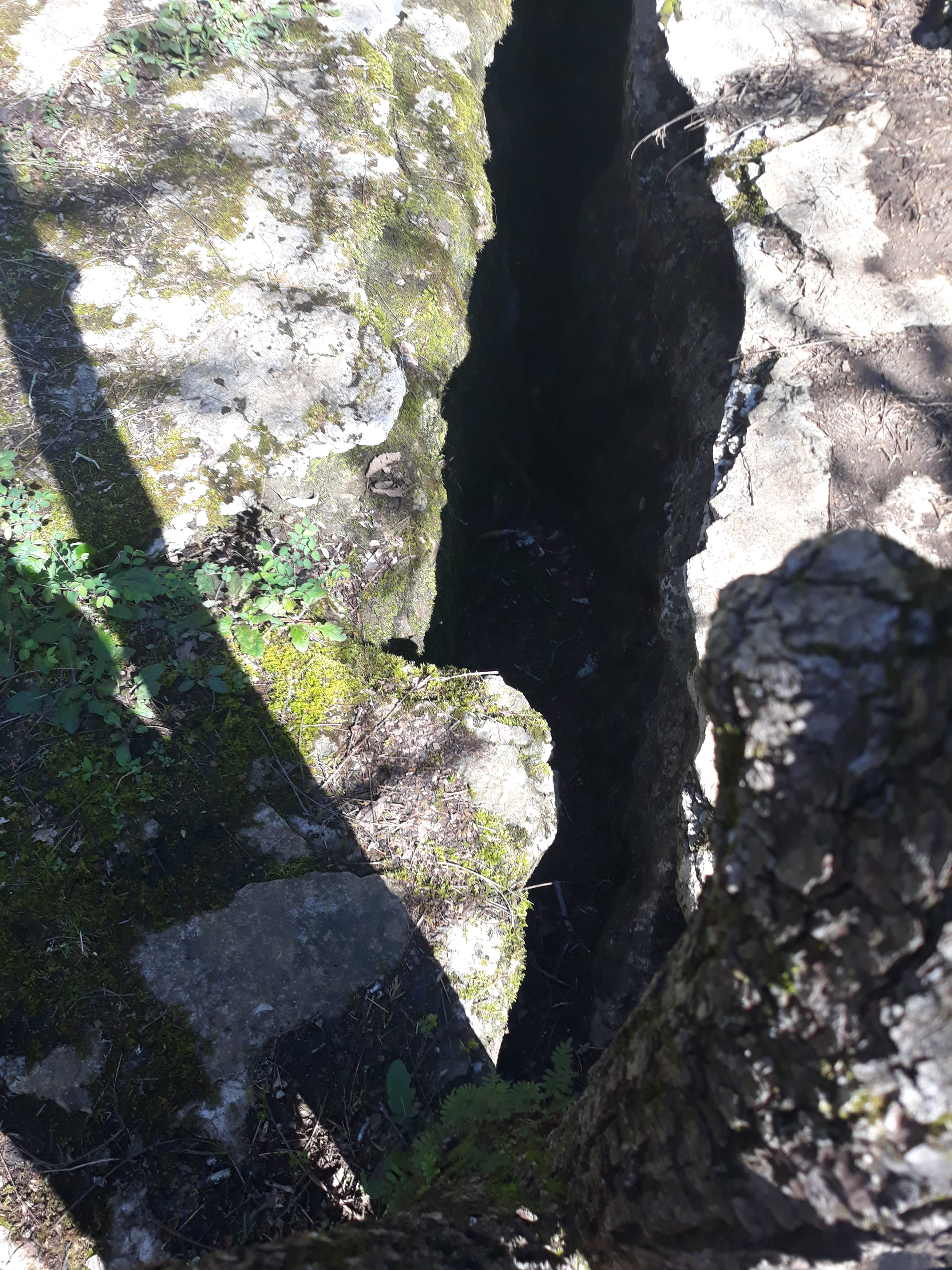
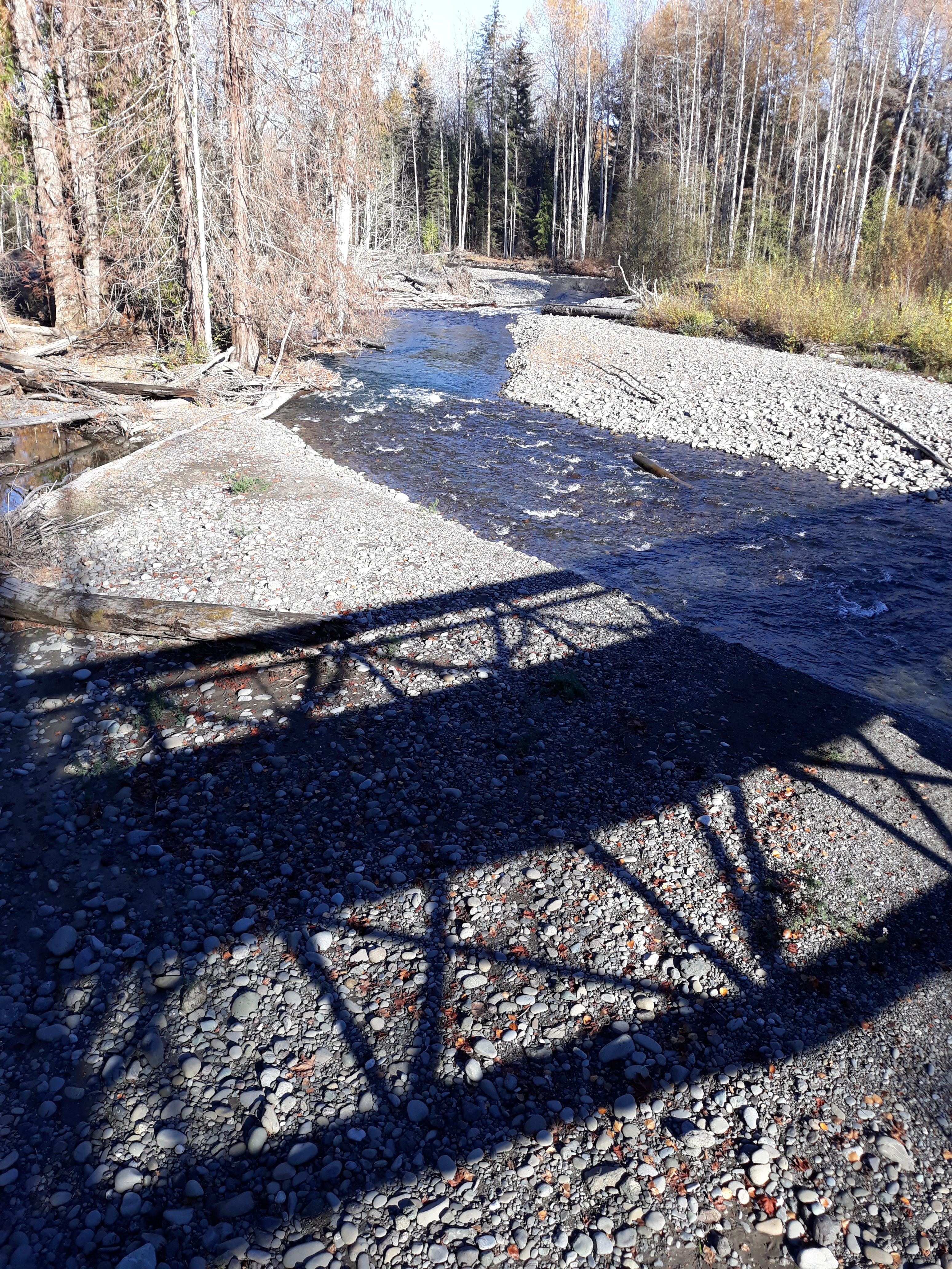
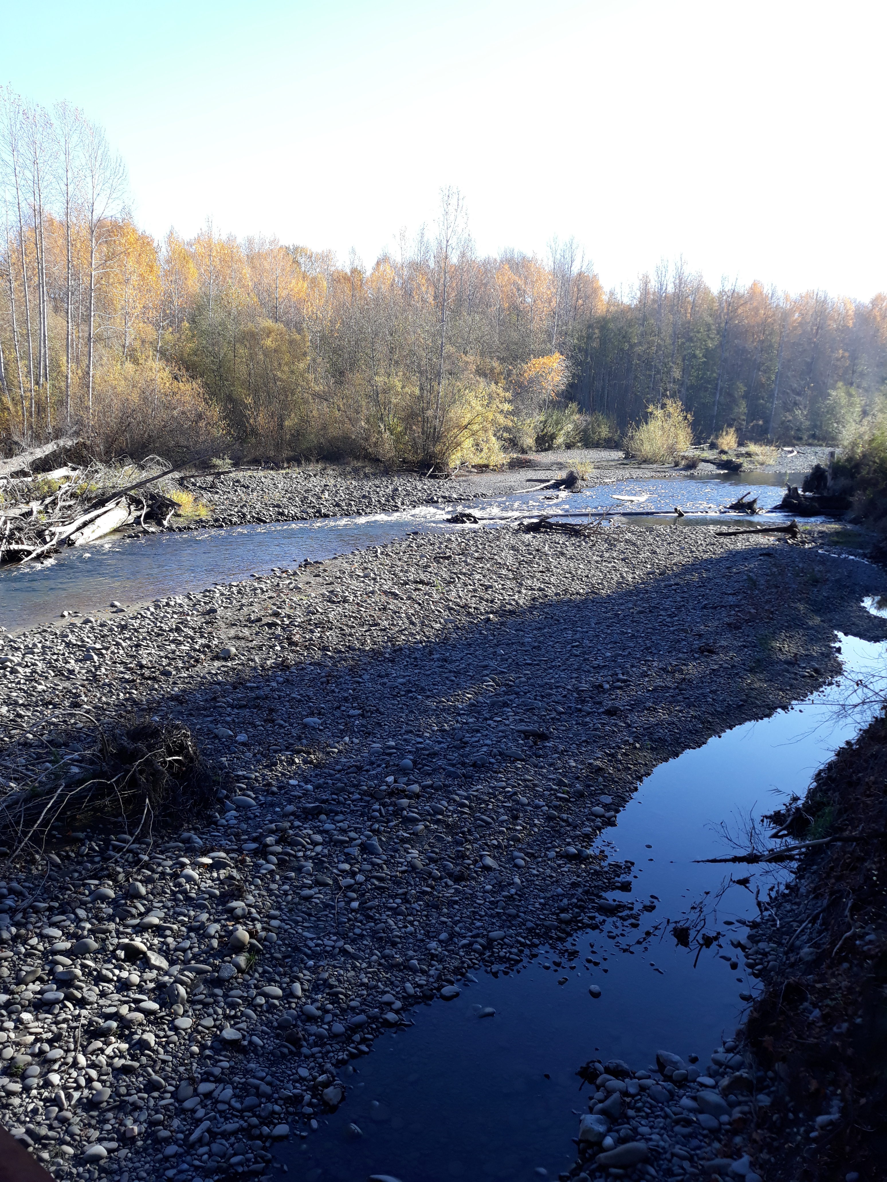
I was warned beforehand to wear (or at least take) water shoes since the trail crossed back and forth over the Escalante river numerous times. Turns out it was a very dry winter in UT with very little snowpack to melt so getting my feet wet was not an issue. The low river level was actually kind of helpful. In these parts they don’t do a real good job of marking trails. Back east, if I saw a tree trunk down across a path, it would mean I needed to turn left, right or back the way I came. Around here it just means that’s where the tree fell. With the low river level, my most reliable indicator of the trail was frequently the stone bridges built by other hikers to cross the river. And of course, looking at the boulders strewn through the river, my inner kayaker came out and thought it would be a great river to paddle at higher water levels.

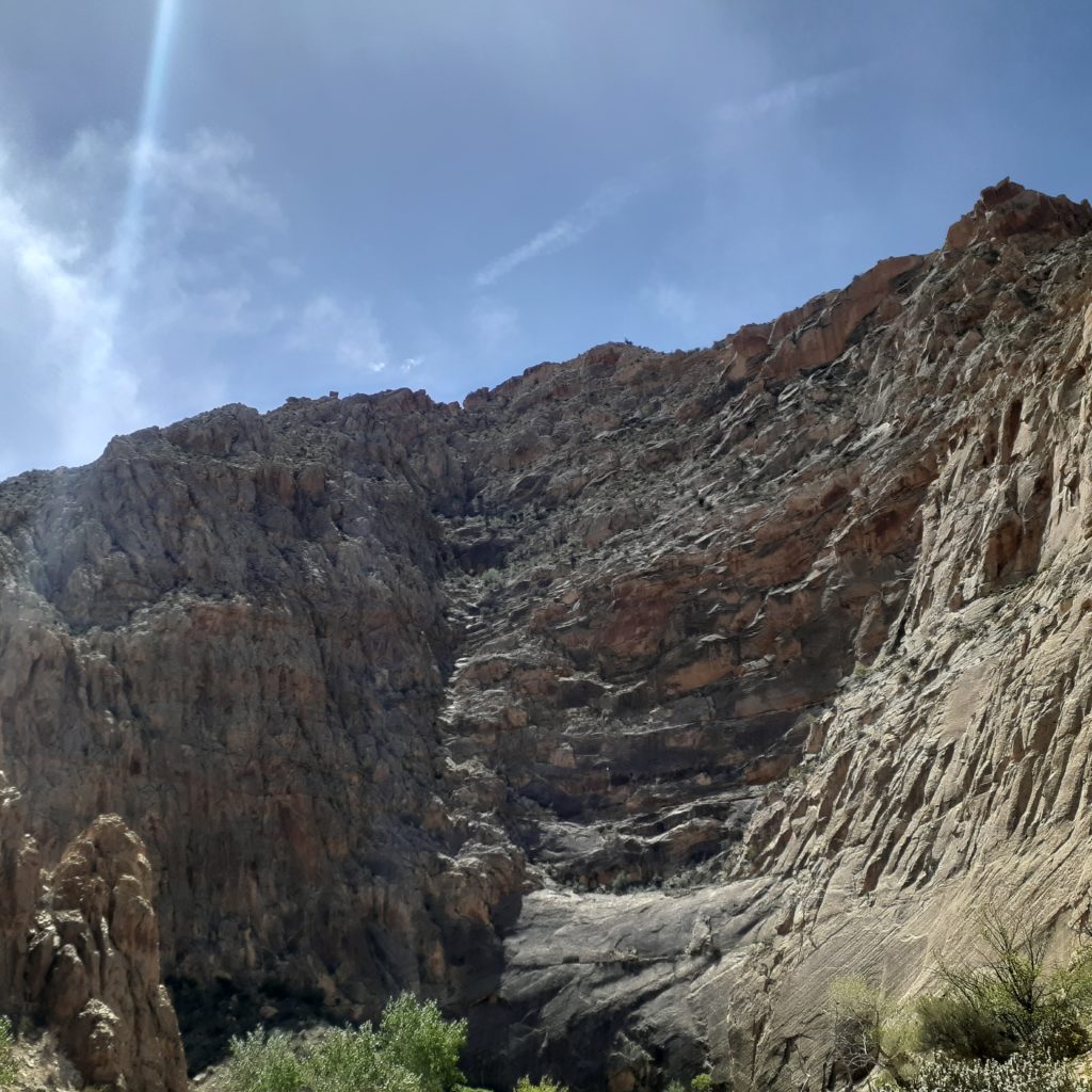
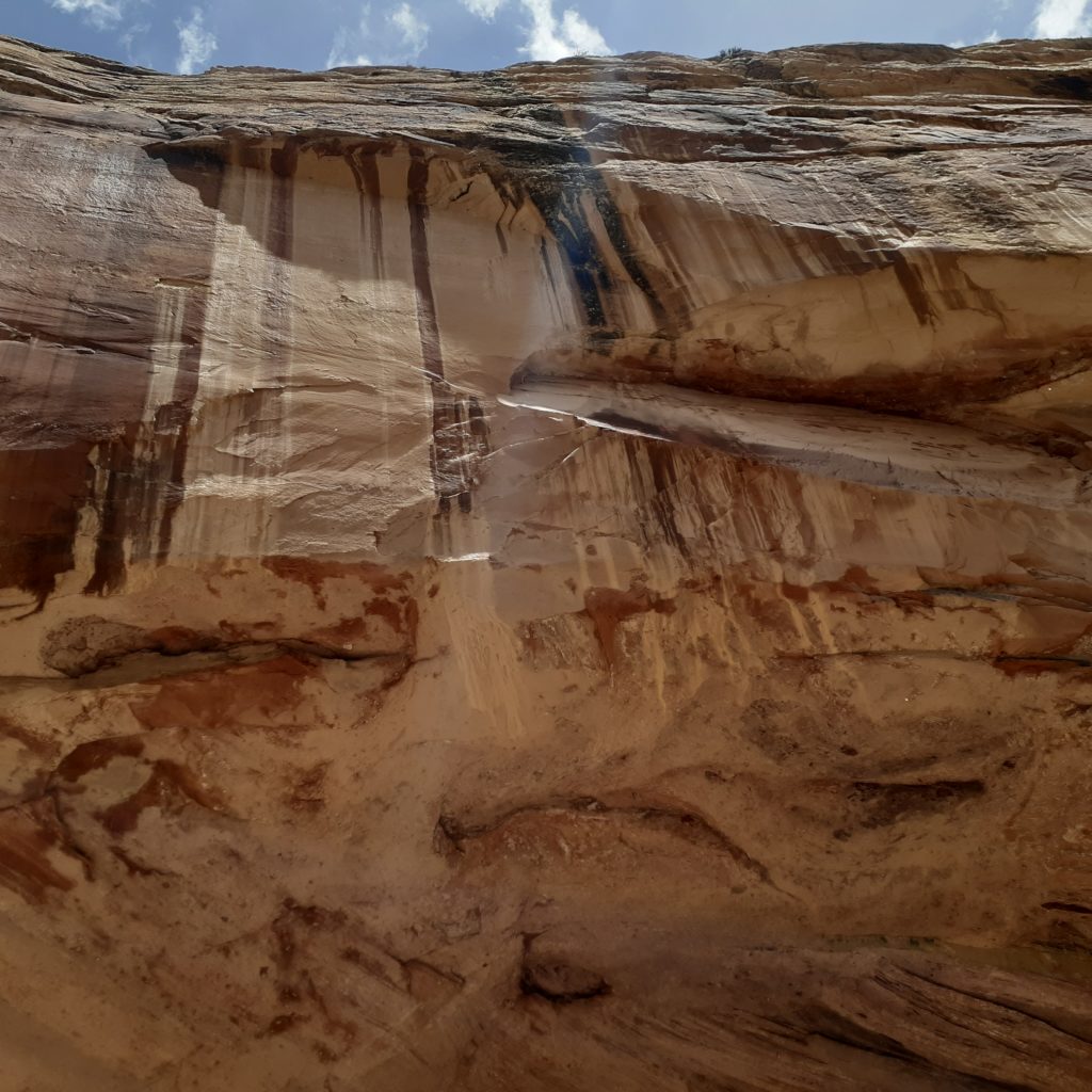
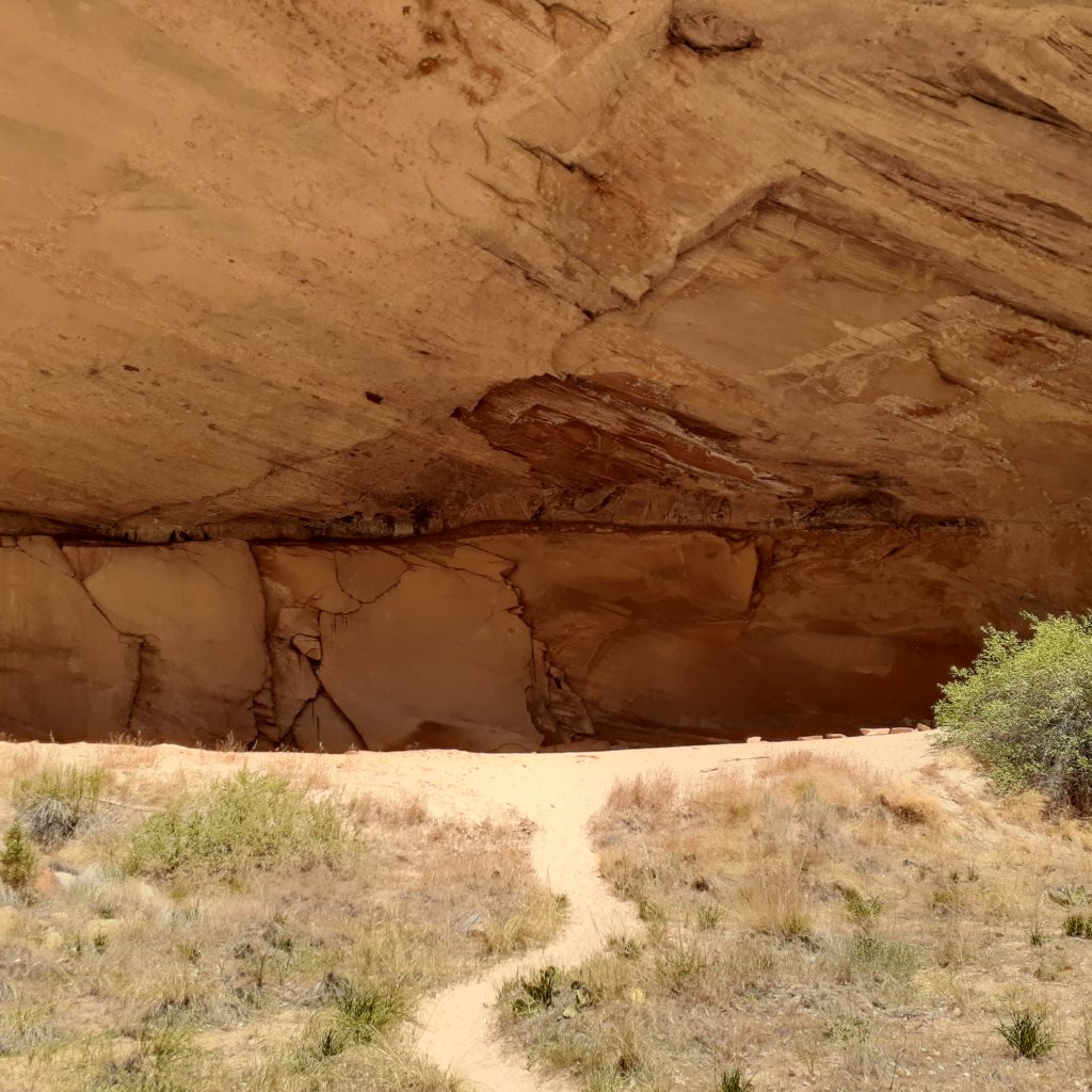
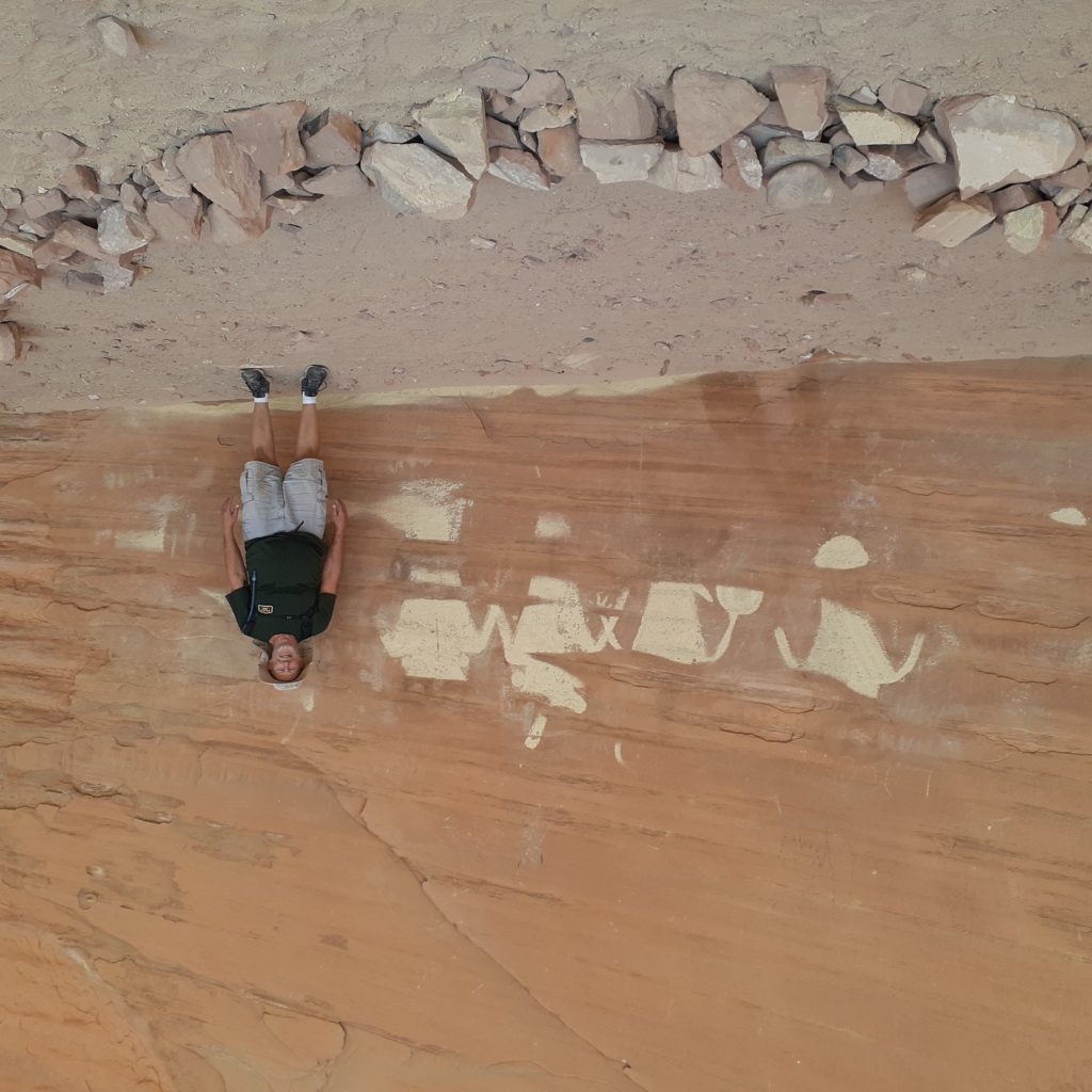
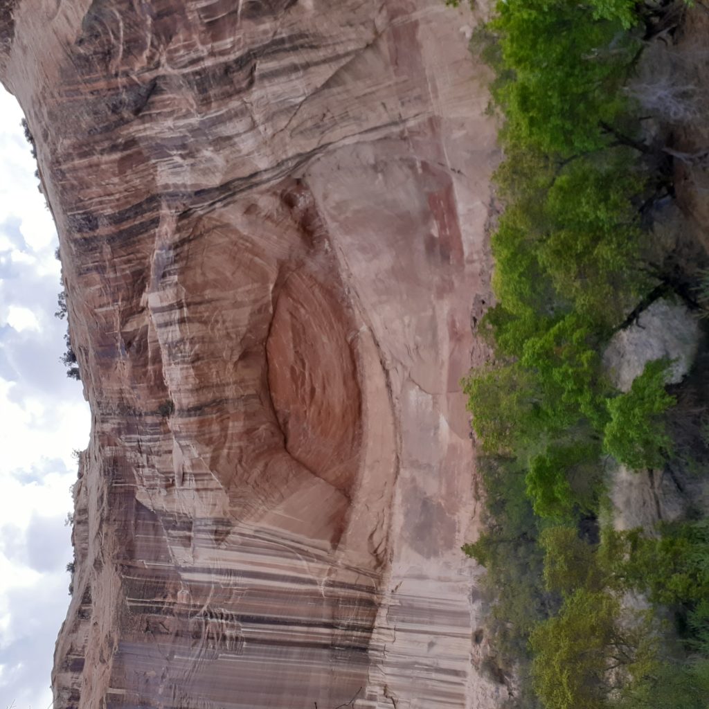
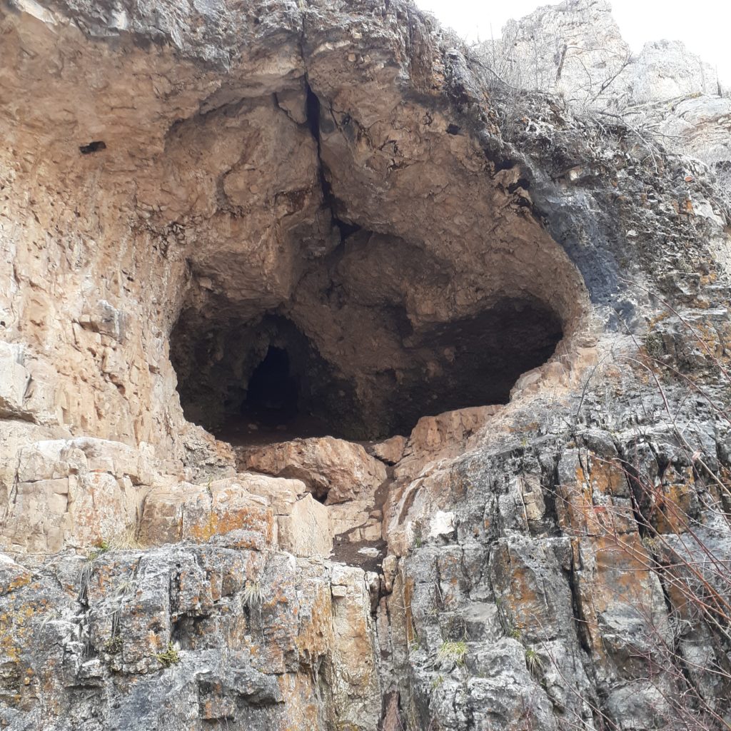
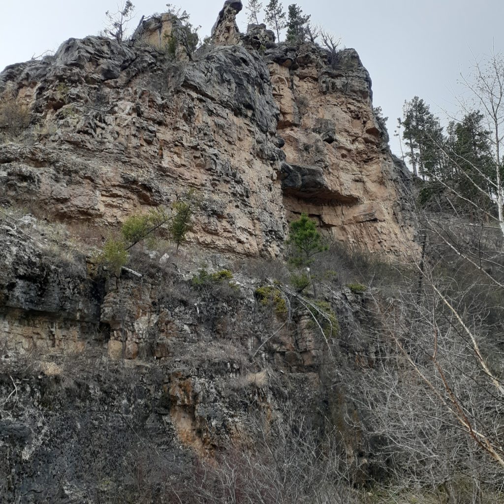
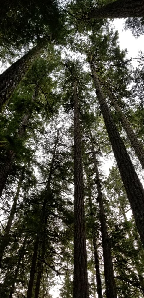
The goal for today’s hike was about 3 miles in, some petroglyphs on a rock wall. Fortunately, when I arrived there were was a couple there who agreed to take my pic standing next to the petroglyphs. As an added bonus, they were in a giant, natural amphitheater. And just walking along the river I had to wonder why there were no rock climbers here. It looked like a paradise for them.
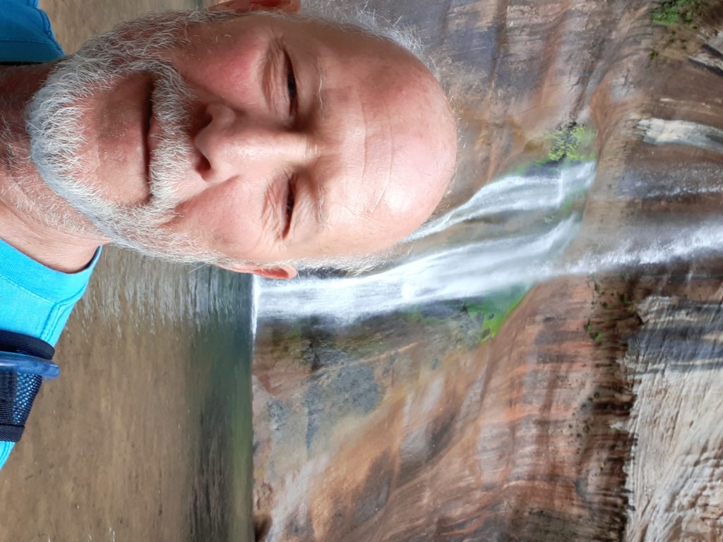
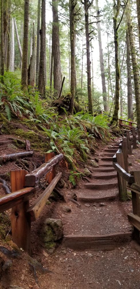
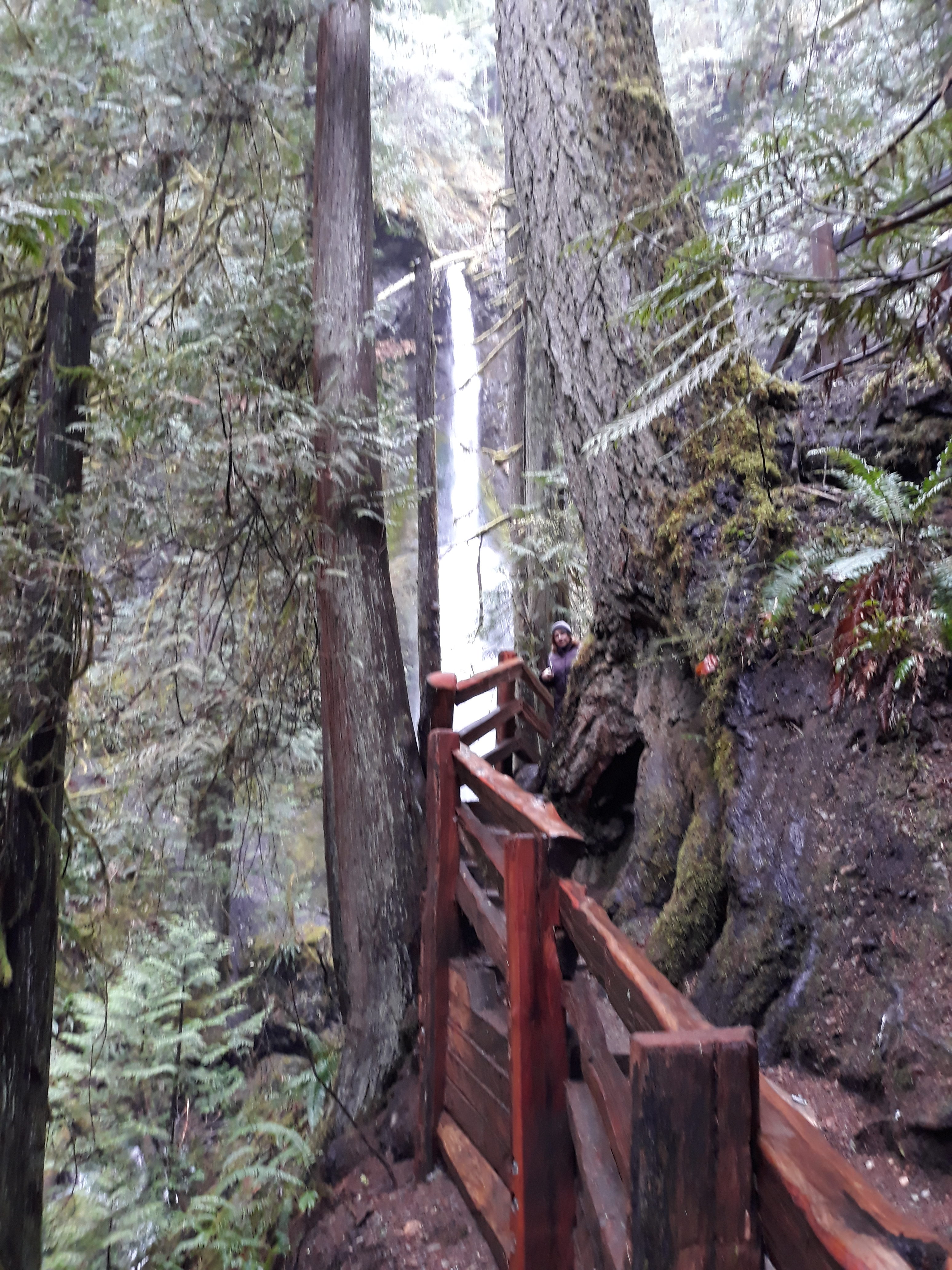
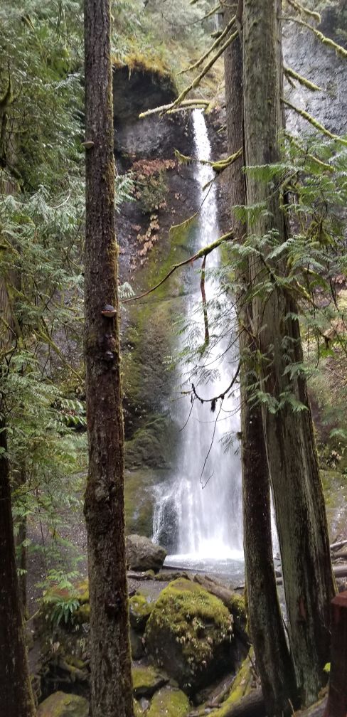
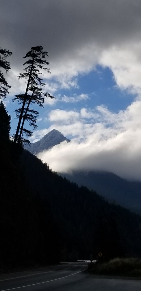
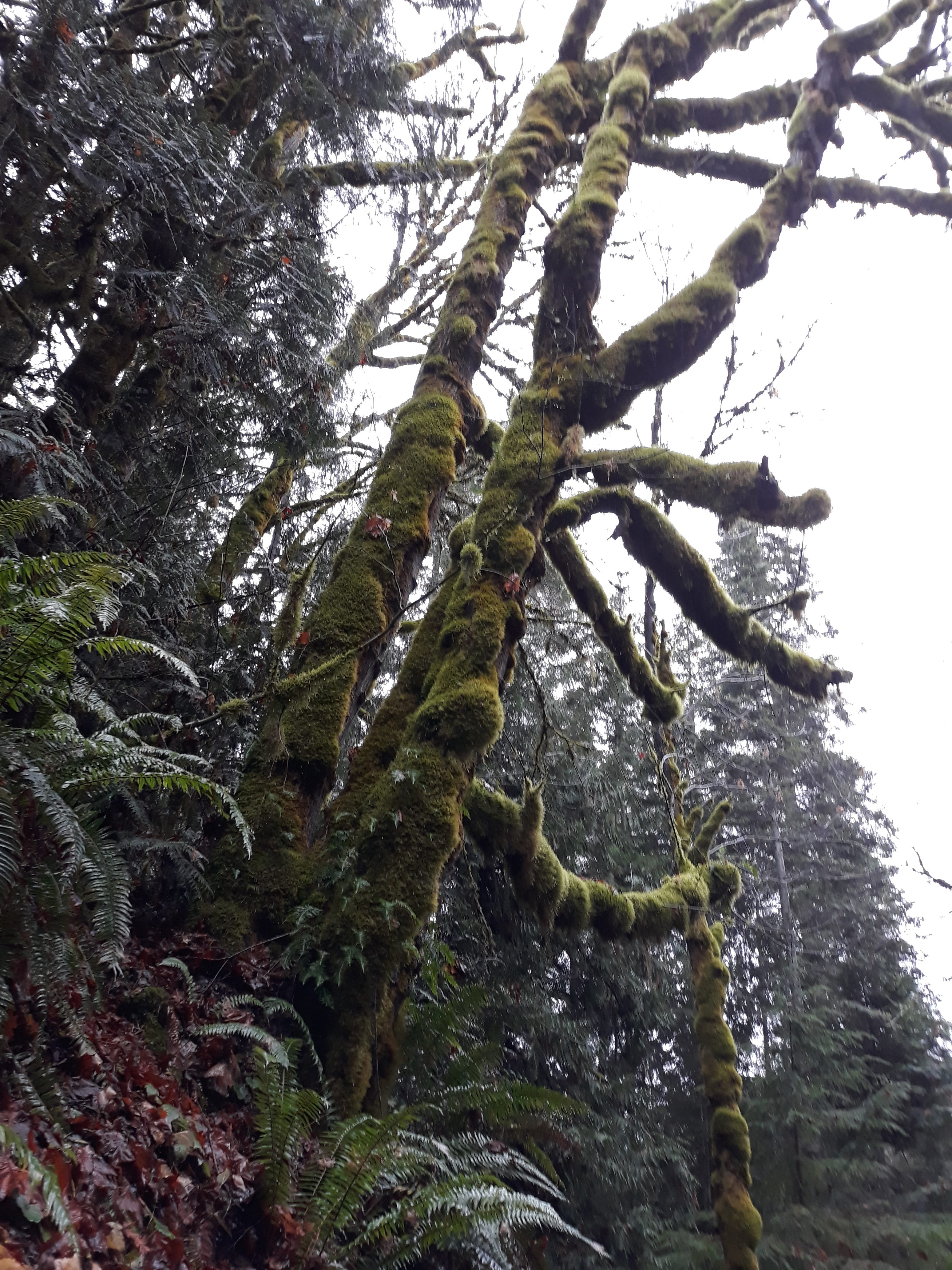
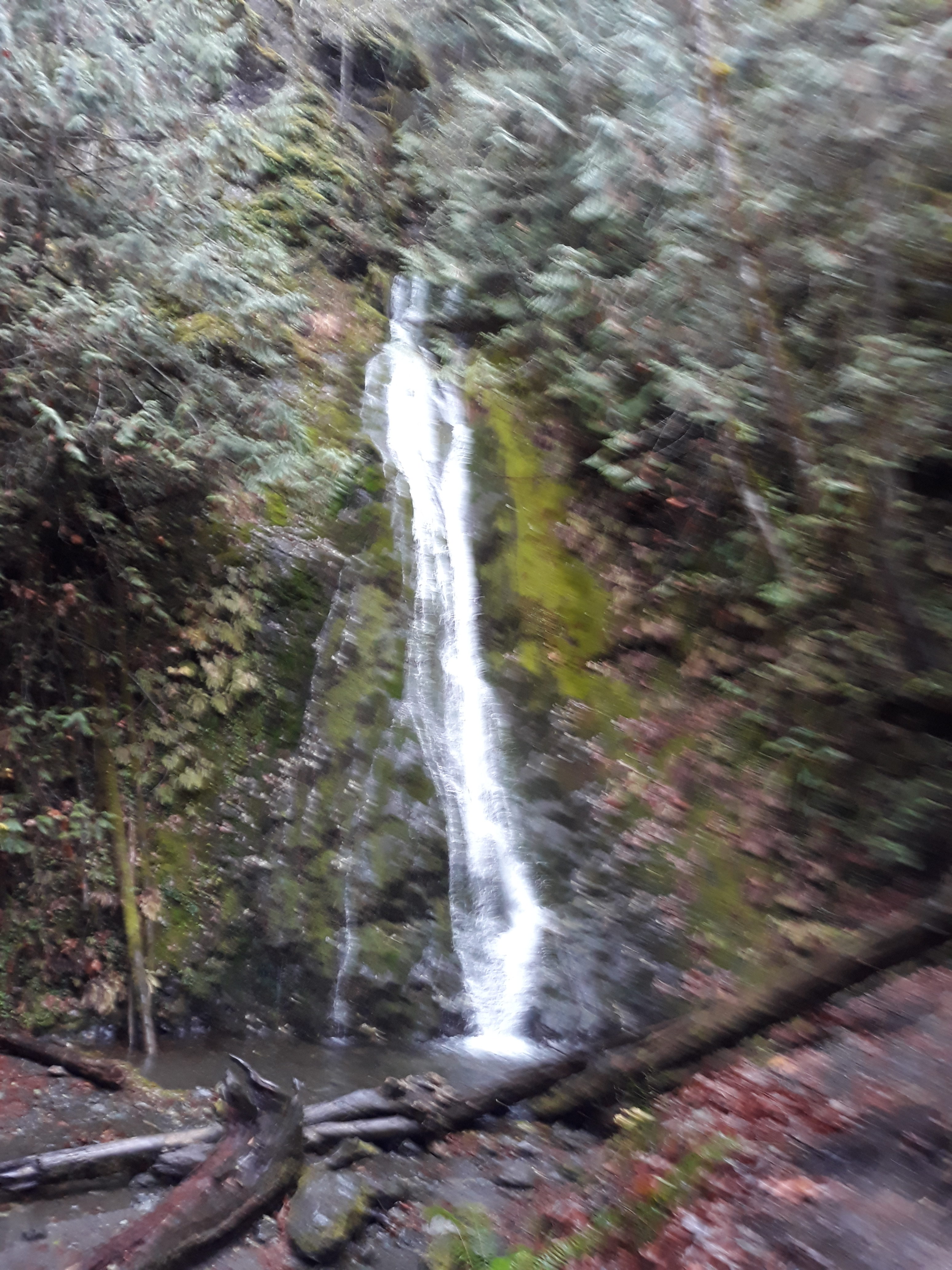
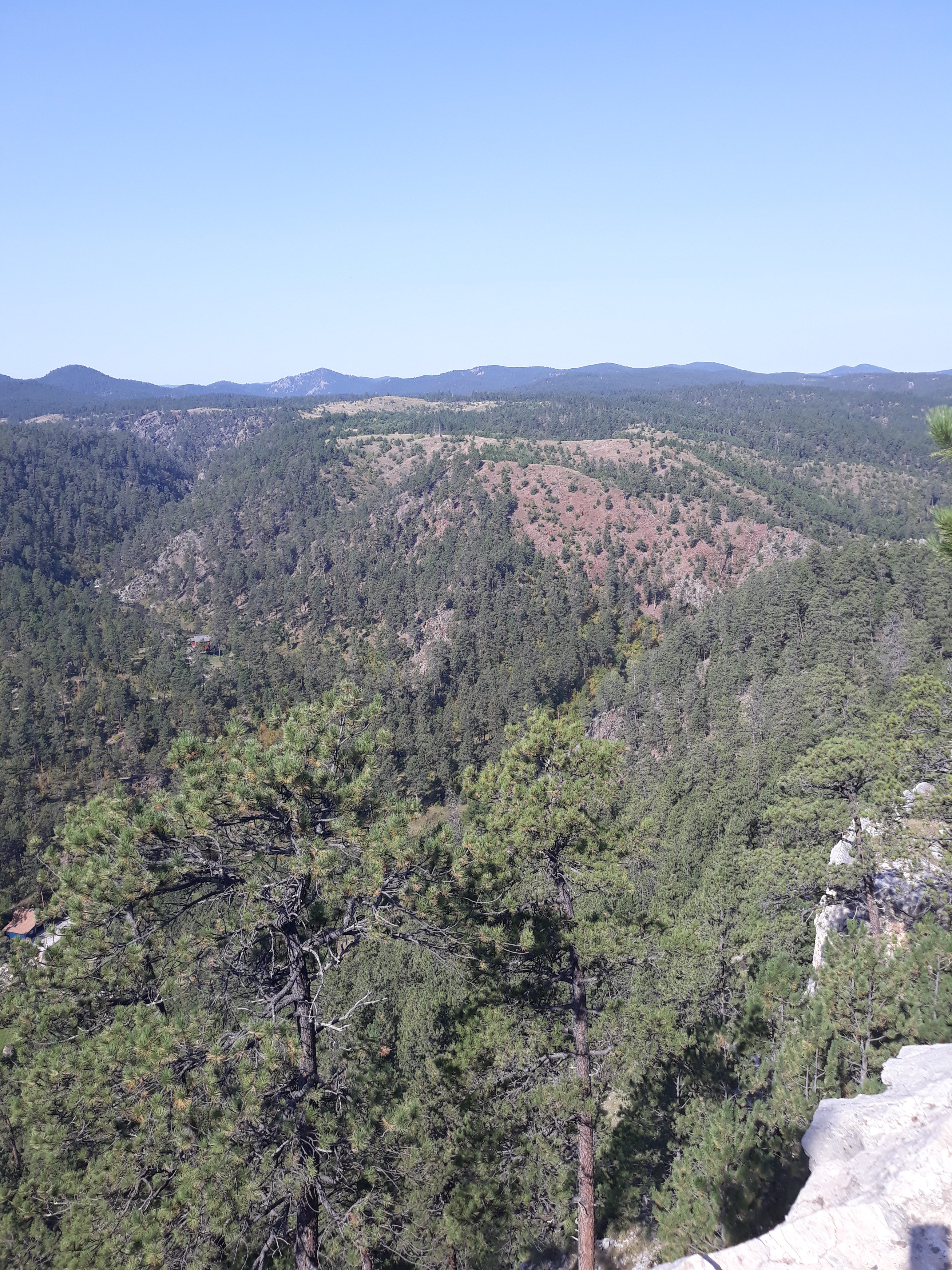
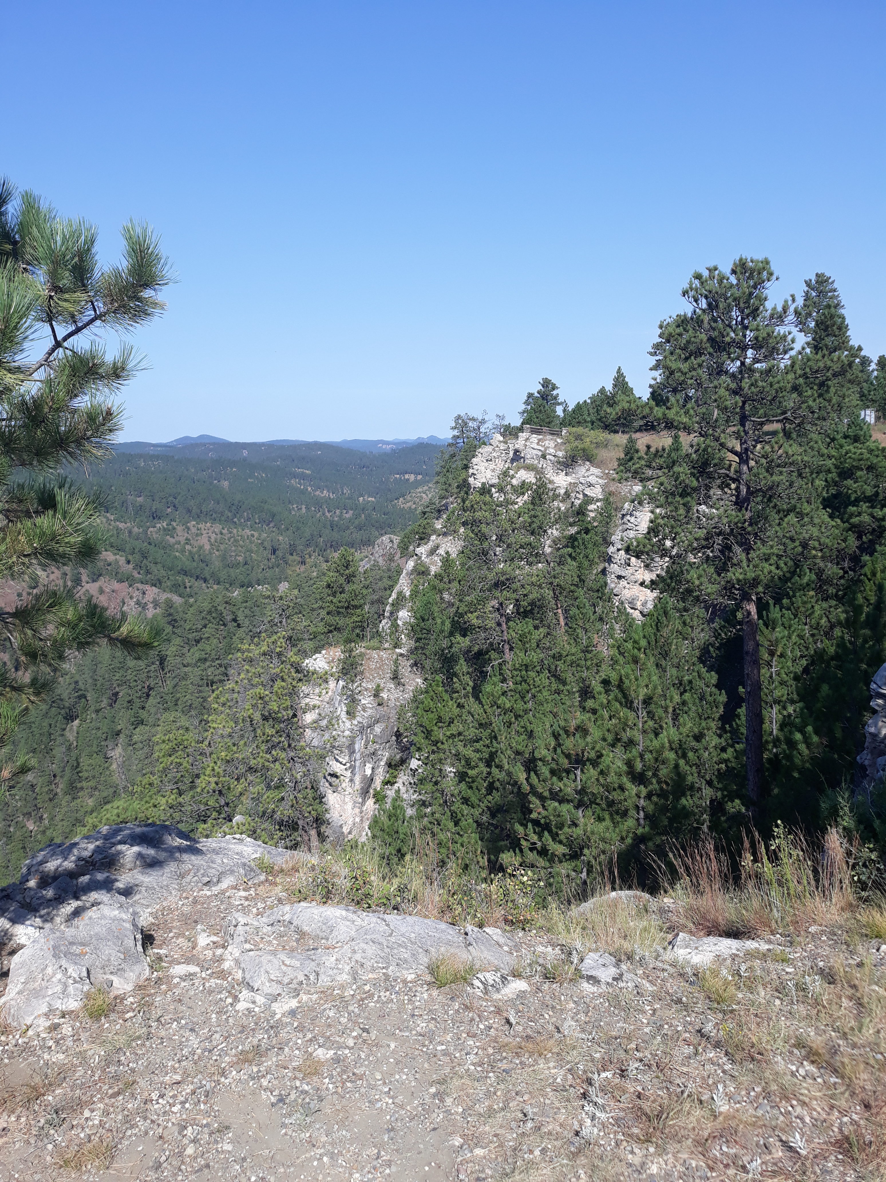
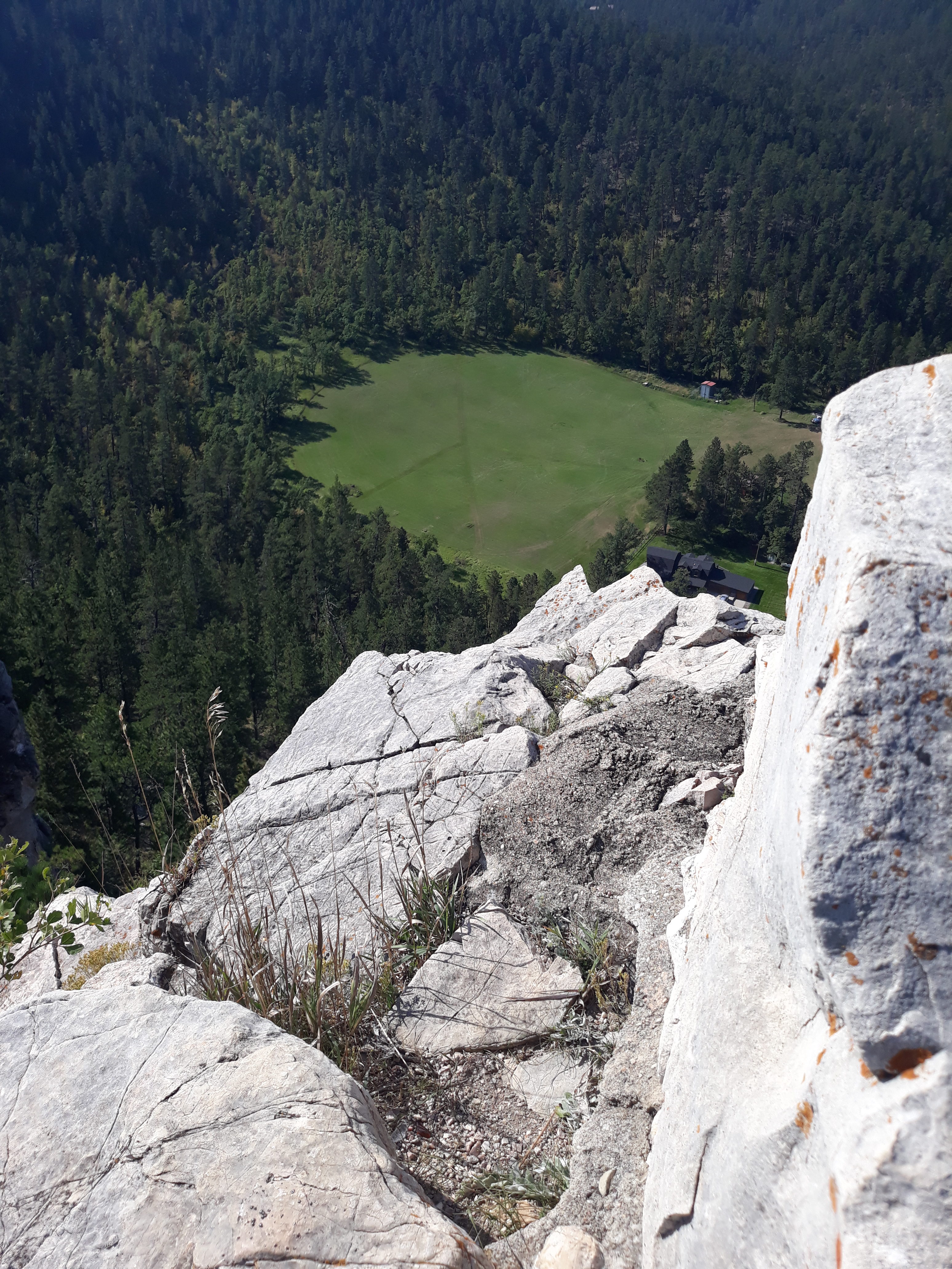
Enjoy the pics!

How do those trees ever take root?
The actual river
Just walk across the obstacle
Spooky
Top of amphitheater
Me and the petroglyphs

Lower Calf Creek Falls

My primary reason for coming to UT for a month was to see more of the countryside. I was able to complete a very nice hike this morning to Lower Calf Creek Falls, between Escalante and Boulder UT.

The owner of the place I’m working suggested that I download an app called All Trails. This made my life so much easier finding local trails to hike. It also mentioned that this was a very popular hike and could get crowded at times so I planned on a very early start. I arrived at the trailhead about 7:30 and found plenty of parking spots open. There’s also a small campground, mostly suitable for tenters, vans or small Class C motorhomes.

If you’re just hiking here, there’s a day use fee of $5, envelopes at the kiosk. I filled out the envelope, paid my money and hit the trail. I’m still getting acclimated to the elevation so there was some heavy breathing involved due to exertion. Take away the altitude and there might still deep breaths just from looking at the landscape.

I didn’t time this hike, and there’s no cell service so I couldn’t use my fitness app but it probably took about 90 minutes to get to the falls. There were a few stops just for photo opps, numerous ups and downs on the trail and lots of deep sand to walk through but it was worth it. The temp at the falls dropped considerably.

By the time I got back to the parking lot, it was full and cars were parked on the side of the road. Seems like I timed this one very well.

Those sandy parts of the trail? A lot of that sand wound up inside my socks. I found that out when taking off shoes and socks after getting back to the RV. If you find yourself in this part of Utah, I would highly recommend this hike.

Moderate or strenuous?

There are many hiking trails to choose from in the Black Hills of South Dakota, several of which are very close to my new campground. Recently, I got to complete the Hell Canyon trail (5.25 mile loop trail), about 13 miles west of Custer SD.

I specifically used the word ‘complete’ because I’d been on that trail twice before without completing it. The first time was with Jean and we turned around early in the hike. The second time I went by myself, missed a trail sign and wandered aimlessly for a couple of hours, although I did get some very good pix.

So, third time’s the charm, as they say. I got to the trailhead fairly early although it wasn’t forecast to get very hot that day. From the trailhead, you have 2 options. Start to the left and you’re faced with a steep 1/2 mile switchback trail to begin. Start to the right and you have 5 creek crossings before you start going uphill and finish downhill on that switchback.

The scenery was different than most of my hikes. Lots of rocks and cliff faces, open ground with only a few trees. At one point I saw a rock climber coming down a cliff face. At the bottom of the cliff face was a low cave opening. When it gets hotter here I may revisit that cave just for the cooler temps.

So, back to the title question. Moderate or strenuous? Most of these trails have descriptions in local brochures or at the trailhead that describe the level of difficulty. At this stage of my life, I have to admit that a trail that would have been moderate, at worst, a couple decades ago is now tilted toward the strenuous side of the line. And that’s OK. I can still finish the hikes even if I take a few more breaks. The scenery looks just as good and my body still reaps the physical benefits of getting out into nature.

Cheeks Bend Bluff trail hike

It was a lovely day for a hike today. Sunny and temps in the low 70s this morning. A big thanks to Google for providing a nearby trail, located in Colombia TN. There’s been some recent rains in the area so parts of the trail had puddles, but nothing that couldn’t be walked around. There were also rock formations/boulders to navigate so decent hiking boots could be beneficial. The trail was fairly well marked with blue blazes. The only time I lost the trail was while checking out the cave. Since I was hiking solo, I did not venture into the cave but it might be interesting at some other time, with a flashlight.

Fortunately, I was also using a smart phone app called MapMyFitness which showed my location in relation to the trail and got me back on course quickly. The trail was not a simple out and back, but included a loop to circle back onto the main trail. According to the app, it was a 1.15 mile walk

The main wildlife I saw on the hike were squirrels but I did hear a woodpecker at one point. I was also the first person on the trail for the day and walked through a lot of spider webs.

Overall, I would recommend this hike for any fitness level but would probably avoid it after more than light rains.

Wildflowers in the forest

Watercourse running down to the river

Tree growing from the bottom of a sinkhole

Duck River from the bluff

Duck River from the bluff

Large crevice in the ground

Interior of the cave

Entrance to the cave

Marymere Falls

Here’s the description from Google: Marymere Falls is located in Olympic National Park near Lake Crescent in Washington, United States. The falls are accessed by a one-mile, well maintained, dirt trail through old-growth lowland forest consisting of fir, cedar, hemlock, and alder trees.

The trail was actually about 3/4 mile each way. There were stairs involved which could make it rather difficult if you have knee/hip problems or are just out of shape. There’s also a narrow bridge which would make it unsuitable for wheelchairs or walkers. The trail starts on the north side of highway 101 in a paved parking lot, then crosses under the highway via a tunnel. The forest was beautiful, as were the falls and the surrounding mountains. Lake Crescent is on the north side of the highway.

Into the forest I go, to lose my mind and find my soul: 

And now for the rest of the trip:

It looked like the trail railings and the bridge were made from local trees that were just rough cut in place and smoothed out a little.

First Waterfall on the Peninsula

For lack of anything else to do today, I elected to visit the nearest waterfall. The weather wasn’t ideal, but it wasn’t terrible either so I headed west on highway 101 from Sequim, past Port Angeles, to the Madison Falls trailhead. It was an easy drive, and very easy to find. I used Google maps on my phone but I think the printed directions from the website would have sufficed. The last part of the drive was alongside the Elwha River. It looked like it could be a fun paddle, but definitely after it warms up. The rapids looked to be about Class 2.

The entrance to the trail was clearly marked at the trailhead parking lot and they even had a restroom. The walk up to the falls was literally 2 minutes on a paved trail which was wide enough for wheelchairs. There was 1 bench at the midway point and another at the end. That old tree stump was 9 feet across, the living trees were huge and I can’t remember seeing that much moss on trees before. Enjoy the pix. Even on a dreary, drizzly day, it was a great short hike.


Another sunny day in Sequim

I had every intention of doing another road ride today but, after checking the forecast temps, decided I really need better gear to ride in for this weather. Instead, I drove downtown for pics of the tiny lending library on one of the main streets.

It would really be nice if this idea was adopted in more places around the country. As a fulltime traveler, I frequently run into problems trying to get a book from the local library since I’m not a resident. It’s also a cheap way to try different authors/genres. Today I switched it up a little by picking out a sci-fi paperback.

Moving on, I drove to an Olympic Discovery Trail trailhead. On the way there, I spotted 3 of these cuties in a local yard.

The Olympic Discovery Trail is fairly popular up here. I saw people of all ages walking, jogging, bicycle riding and skateboarding. This section of the trail was all paved and sometimes shared space with local roads. It also crossed over the Dungeness River. Where is my kayak now that I could use it?

A day in the Black Hills of South Dakota

For those of you who are hikers, you know that all the hard work walking uphill is usually rewarded when you get to the top. I got to prove that again while hiking in the Black Hills just outside Rapid City SD. I also discovered something previously unknown to me. These hills, or at least a depression in them, were home to numerous high altitude balloon experiments beginning in the 1930s. The trailhead on route 16 was unmarked so it really helps to have a local with you 😉 https://en.wikipedia.org/wiki/Stratobowl